East Murray
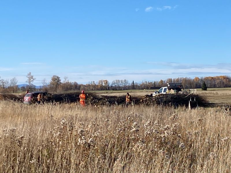
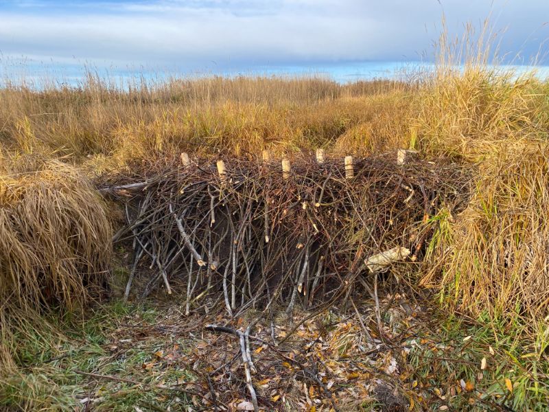
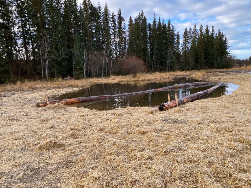
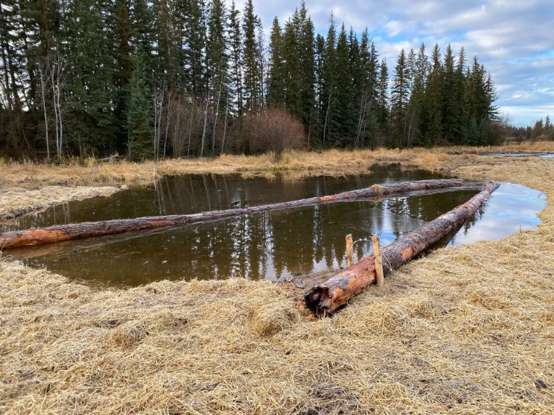
Beaver Dam Analogues on East Murray Creek
The objective of this landowner was to create a riparian zone for snow interruption (to capture snow and create areas to collect snow for slow release in the spring).
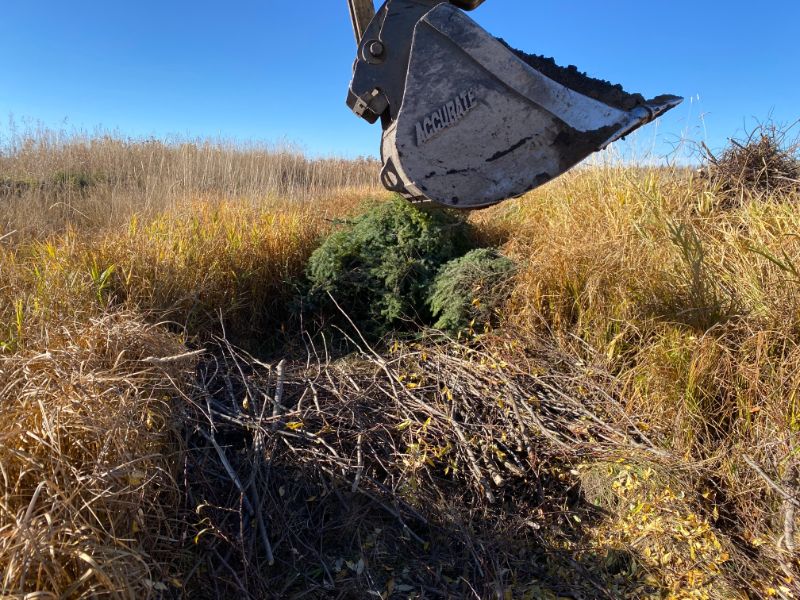
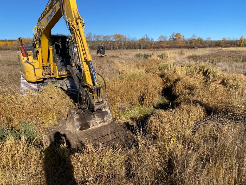
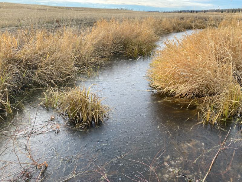
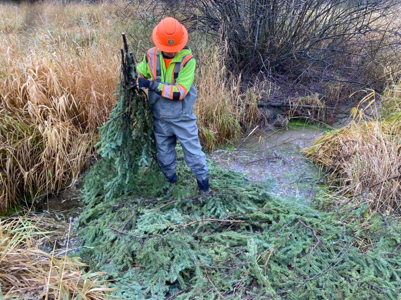
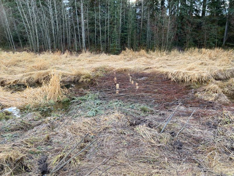
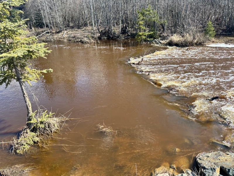
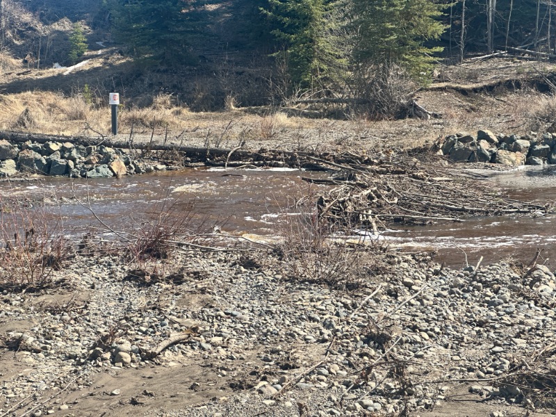
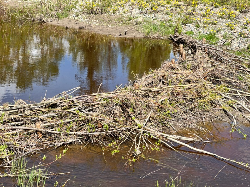
The issue with the site is that over the years invasive reed canary grass has dominated the landscape, which doesn't provide good riparian habitat. In 2024, working with the landowner, NEWSS supported the installation of several Beaver Dam Analogues (BDAs) on the creek to help slow flow of the river. By slowing water down and holding water in place, the stream will start to grow a riparian zone again, and help in moving water down into the aquafer to help in drought years and will sub-irrigation. BDAs constructed to bank height will allow water to flow over and around to hydrating the banks for riparian growth and fish movement.
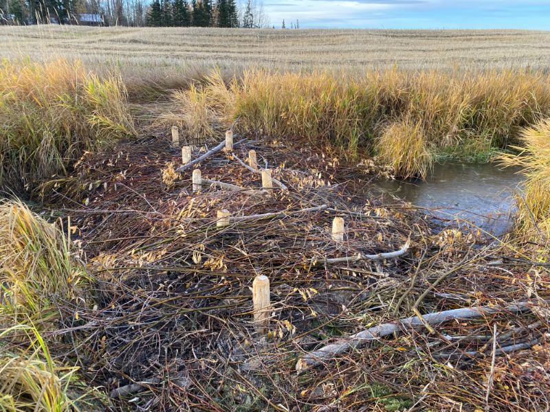
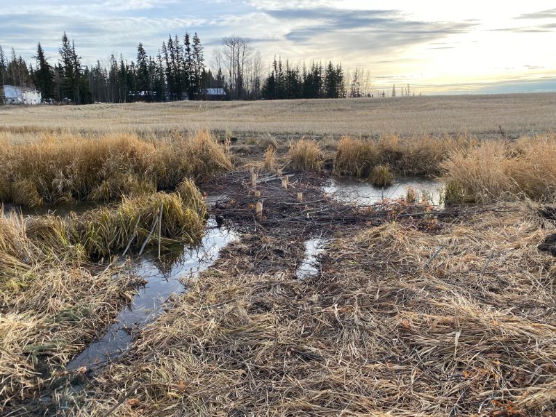
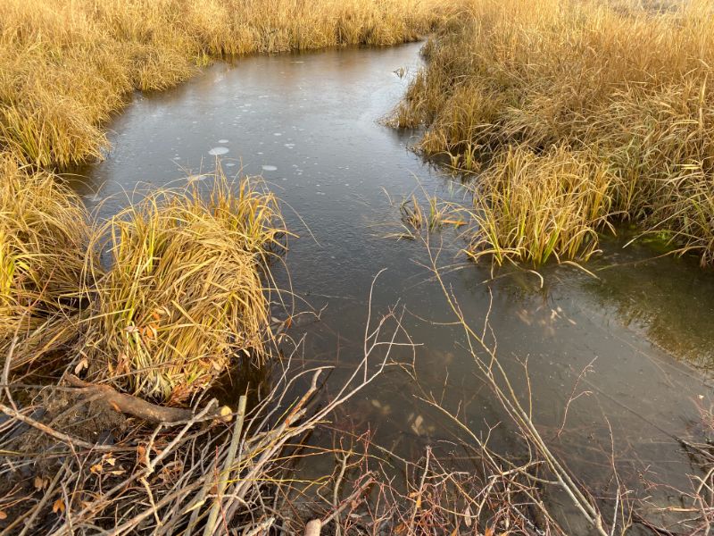


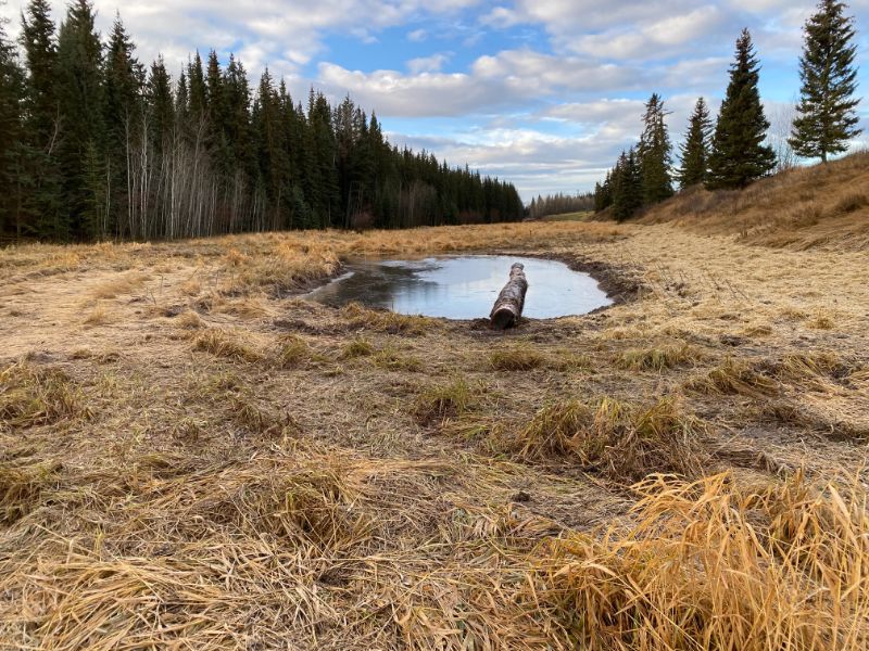
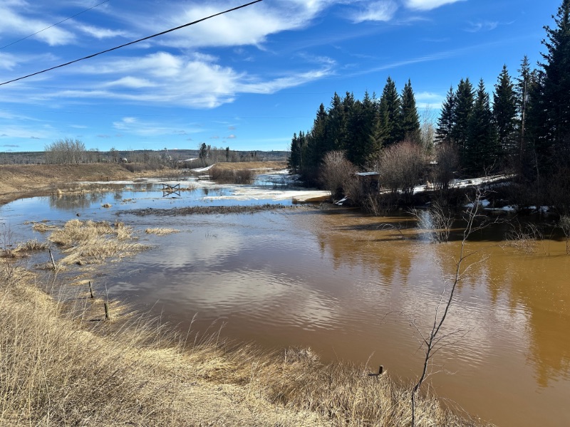
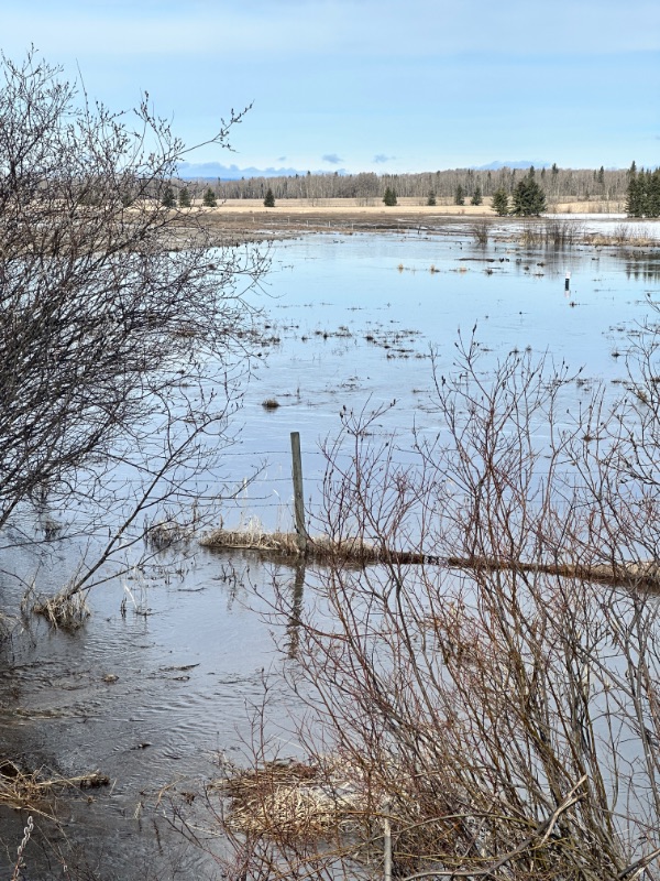
See images after the first spring freshet and how the BDAs held up in high water conditions.
Background
Much of the area along East Murray Creek has been subject to extensive anthropogenic disturbance, including logging, land clearing for agriculture, and urban development. The upland forested regions across the central interior of British Columbia experienced a Mountain Pine Beetle (MPB) epidemic between 1997 and 2006, resulting in widespread mortality of pine stands. Subsequent salvage logging of dead pine has led to significant deforestation, leaving many watersheds heavily harvested. These extensive alterations have contributed to cumulative impacts on aquatic ecosystems, including hydrological and habitat degradation.
Hydrological data and recent site inspections, supplemented by aerial imagery, reveal pronounced flow variability in the East Murray Creek system. Peak flows occur during spring freshet, while summer months are characterized by critically low or intermittent flows. The severity of this flow regime has been exacerbated by the drought of 2023, which is forecast to persist through 2024. The availability of water in this system is now critically limited, posing significant challenges for ecosystem sustainability.
- Loss of riparian vegetation and floodplain connectivity appears to result from historic land clearing and development practices that failed to preserve critical ecosystem functions. Cumulative impacts observed in priority rehabilitation areas include:
- Severe streambank erosion, contributing to sedimentation.
- Limited coarse woody debris within stream channels and absence of woody debris interacting with water during summer months.
- Reduced availability of deep pools and critical spawning habitats, with gravel substrates embedded with fine sediments.
- Loss of shade and cover, further reducing habitat quality.
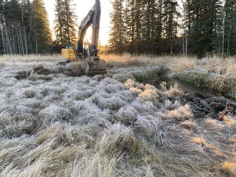
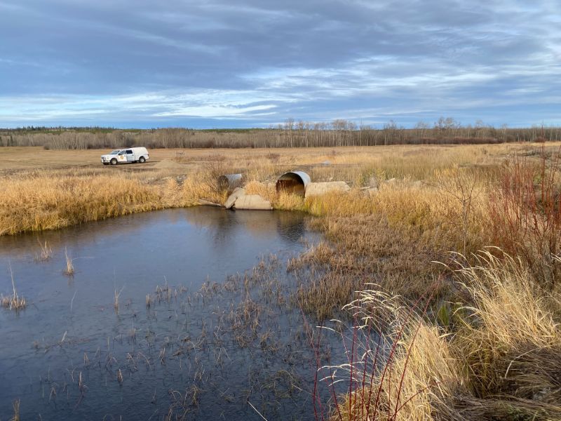
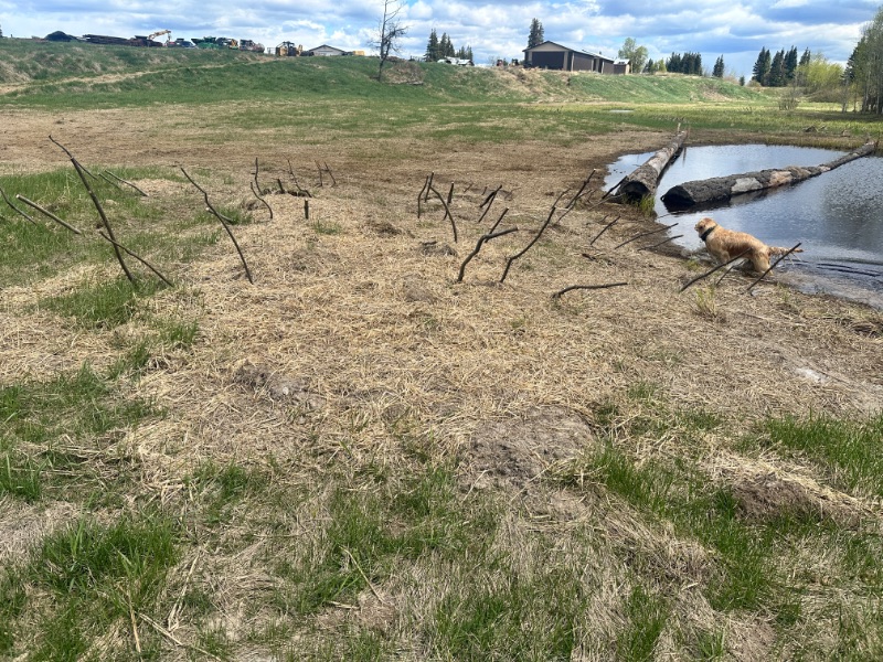
These conditions compromise key aquatic habitat functions, including spawning, incubation, and overwintering capacity. To address these challenges and improve fish habitat, three overwintering ponds were constructed. These ponds are designed to increase the system’s capacity for water storage, mitigating low-flow conditions and providing essential refuge habitat to support fish survival during winter months.

Read the complete reports
Proud Partners:
